
The Gemfields of Anakie, Sapphire and Rubyvale are a short drive from Emerald. Contrary to popular belief, Rubyvale was not named after the gem, but rather was named after the daughter Ruby, of the man who discovered the area. While Rubyvale is the bigger town, Sapphire had a 48hour campground so I stayed there. Had a walk around the Sapphire Wetland Nature Trail. The area is so dry though so no “wet” in the land. There is also a cemetery next door which made for some interesting reading. Not much else to do in Sapphire itself. Rubyvale surprised me as I expected it to be smaller than Sapphire. It is really the heart of the fossicking area with a number of shops. There are over 3,000 mining leases and because of the “lease” nature, only humpies or old caravans with lean-to are dotted around the place. Most of these places also have a contraption whereby the dirt is “washed”.
The Miners Heritage Walk in Mine Tour is well worth the $20 entry fee. During Covid19 and school holidays getting booked on a tour can be a bit problematic but the staff are all willing to juggle things as best they can. The tour was excellent and the guide knew her stuff, having come to Rubyvale to fossick many years ago and of course decided to stay. I am not really into fossicking so didn’t buy a bag of dirt to try my luck but did watch as they explained to mainly kids how to do it at the fossicking yard across from the mine. I did of course keep my head down wherever I walked just in case.
After leaving the Gemfields it was north to Capella which was a very quiet but clean small town. Here the Museum/Pioneer Village was not open but did have a wander around town where they also have a very beautifully kept old Railway Station. and Memorial Park. There was also a nature walk but it didn’t really seem to go anywhere in particular. An inground display of a number of different rock types was about the extent of it.
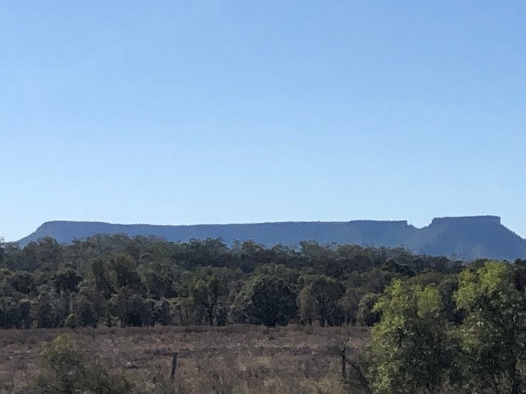
Clermont impressed me as both a clean tidy town as well as several things to do in town and the surrounding area. Went for a drive out to Peak Range National Park and Lord’s Table Mountain. It looks just like a table and so hence it was named by Ludwig Leichardt in 1845. Dysart the town was nothing special. Built as a mining town in 1973 to support the local Saraji Coal Mine, it looks very similar in style and plan to both Tom Price and Paraburdoo in Western Australia. north of Dysart on the way to Moranbah is the absolutely huge Peak Downs Mining operation. Coming from Collie which houses the only coal mines in Western Australia and can really only just be seen from the road and minute in comparison, the Peak Downs Mine is just so huge and goes on for kilometre after kilometre. I have been blown away with the amount of coal mining here in Queensland. No wonder the National Pollution Inventory revealed this mine to be the biggest generator of airborne pollution in the country in 2015/2016.
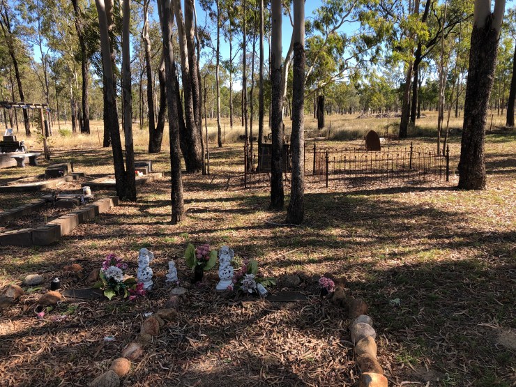
Nearby Theresa Dam was a popular camping place. On the way out to the Dam I stopped at Coppertown Cemetery and Chimney Stack, the only one of 22 remaining from a century ago. Reading the headstones in the cemetery gives you a clear understanding of how tough conditions were. The sheer number of children and infants killed in the search of fortunes is appalling.
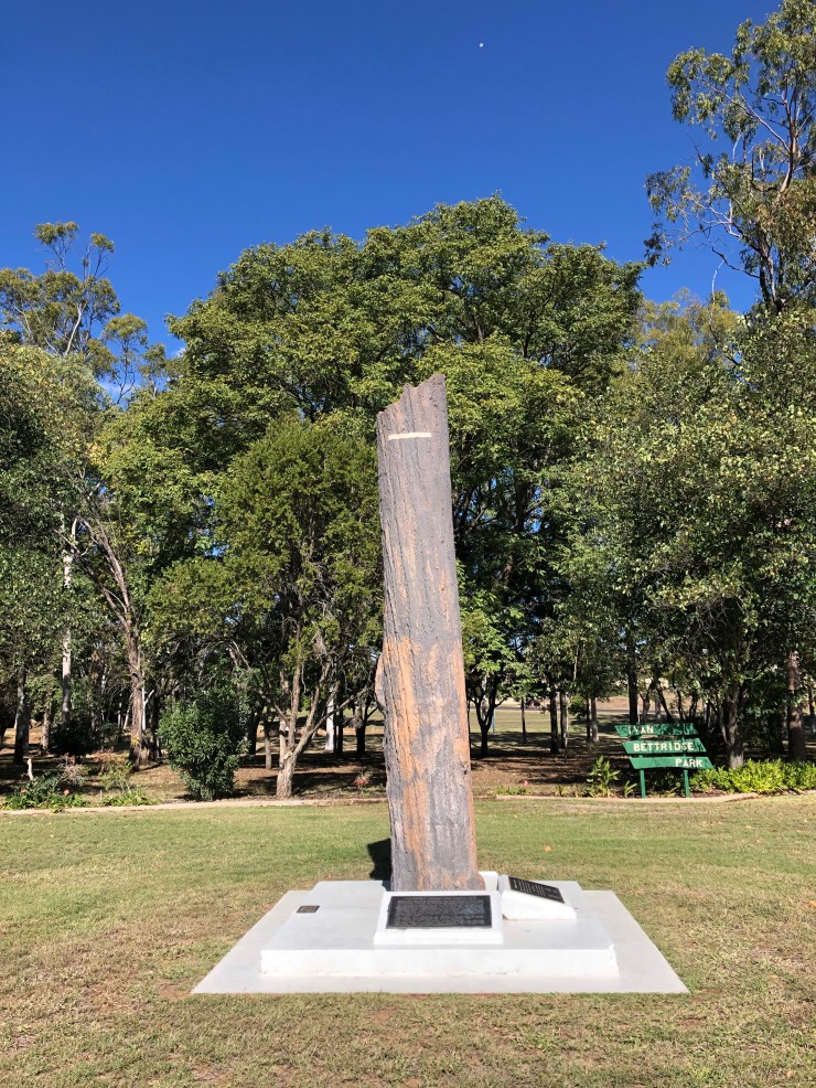
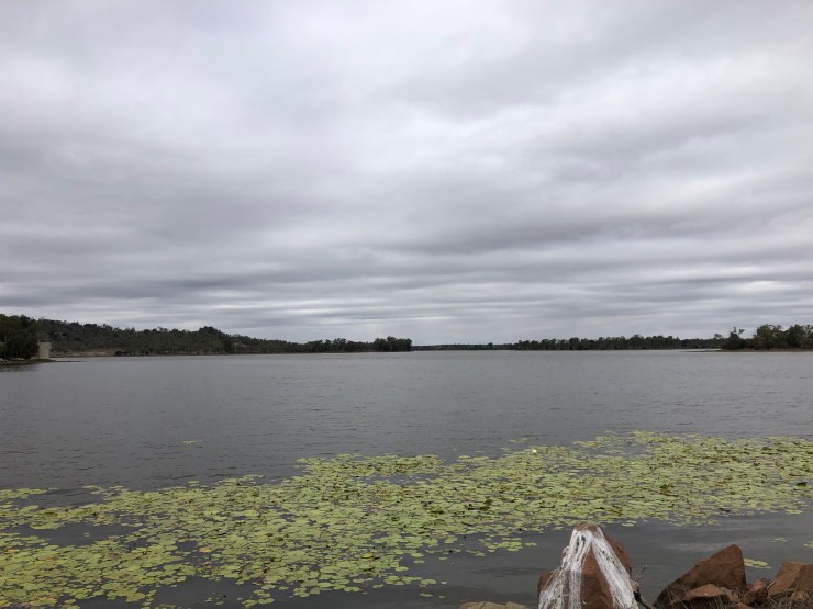
At the top of the main street sits 4 railway carriages which have had murals painted on them. The artist has included a small frog in each of his artworks and the challenge was to find each one. Not easy. The original housing and shops in Clermont were beside the creek and over the years a number of floods occurred. In 1917 a deluge of water created a wave of water and most of these buildings were washed away. An incredible 65 men, women and children lost their lives as their houses were washed away. Whole families lost their lives. A high water marker in the park gives you an idea of how high the water was. After the flood many household items were found stuck high up in threes. As you approach the town you can see a replica piano that has been placed in a tree. 3 such pianos were found in trees after the waters had subsided. The creek area has been named Hoods Lagoon and is a beautiful picnic area with a walkway around the lagoon. After the flood the town was moved higher up the hill. The local cemetery houses the graves and memorial of a number of those that lost their lives in the flood.
The Clermont Heritage Museum was a highlight. It was very well presented and laid out with a lot of old machinery. The volunteer guide there was very keen to impart her knowledge of all things Clermont. I bought a couple of local history books here.
After an overnight stop at Belyando Crossing it was on to Charters Towers.


Great area, we house sat in that area for a while just out of Capella. They have some great horse events around there when life is normal.
LikeLiked by 1 person