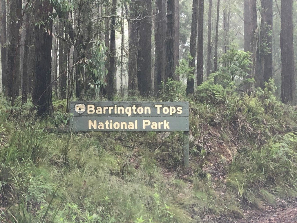
To do the Barrington Tops and Thunderbolts Way (see Bucket List #40) I hired a car from Coffs Harbour. Rhonda doesn’t like hills, certainly not big ones like those found in the Barrington Tops National Park. The full length of the Barrington Tops Forest Road is about 125km from Barrington through to Scone. From the Tops through to Scone is unsealed and very rough in parts and it was never my intention to do this section.
After overnighting in Gloucester I headed out early for the short drive to Barrington and then onto the Barrington Tops Forest Road which becomes Scone Road. The north coast and mid north coast had received torrential rain that had caused flooding in various areas along the coast. It was perhaps foolhardy to go ahead with my hire car booking and I did consider cancelling but I had to weigh that up against the question “will I still have an opportunity to do this in the future?”. I decided to go ahead with my original plan.
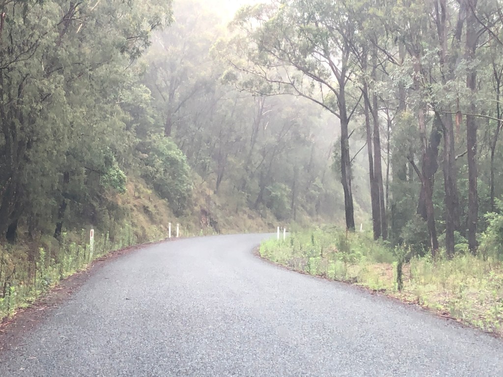
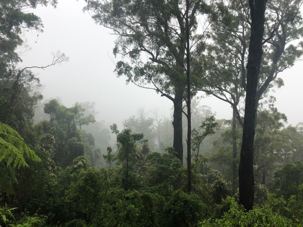
The rain was predicted to increase as the day progressed so my early start was sensible. The countryside is just spectacular around here and as I climbed the mountain the views were fantastic. The road is very narrow and winding so there were not the opportunities to stop to take photos. Then there was the rain which made it very difficult to do so. Of course the low cloud cover also made viewing difficult. At the sealed road ending I continued on another 13km. The road was compacted hard so whilst slippery I was able to travel easily at a slow speed. I continued on as far as I felt comfortable until the road started to deteriorate and with increasing rain decided as I had reached beyond my intended destination it was time to head back down the mountain. The rain was only getting heavier so this ended up being a wise choice.
There are a number of hiking trails and I would have liked to have done one or two of these but there was just no point doing so under the conditions. Perhaps I may get the opportunity to do Barrington Tops again in fine weather. I am not disappointed it was so wet. I guess I got to see a different angle on things.
Barrington Tops is part of the Mount Royal Range and reaches a height of 1586 metres at Brumlow Top. Nearby Polblue campground is the highest drive-to camping area in Australia.